Black Rock Forest and its partners in corridor preservation, including the Open Space Institute, the Orange County Land Trust, and the Hudson Highlands Land Trust, celebrated a significant victory in 2013 with the permanent easement of a large property, Legacy Ridge, that had been formerly slated for development. Preservation of this and other key parcels between Black Rock Forest and Schunnemunk Mountain will create a wildlife corridor encompassing more than 117,000 acres of habitat, including state-owned and privately owned lands.
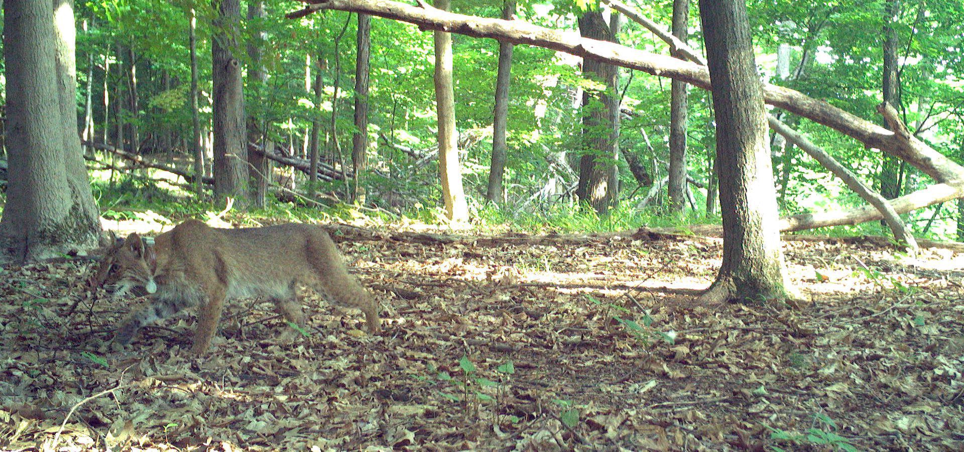
Corridors are essential for wildlife movement and the long-term health of many animal populations. Black Rock Forest’s unique contributions to local corridor preservation have been its scientific analysis of animal movements and habitat requirements; parcel prioritization based on ecological resilience; discussions in the local community and with property owners; and brokering of relationships to facilitate success.
In New York and elsewhere, land acquisition efforts over the past several decades were often part of opportunistic conservation strategies, in which the basis for acquiring a parcel was often its relative availability. Now, however, more land managers and conservation practitioners are prioritizing efforts that compliment what researchers have discovered about the needs of species of conservation concern. Conservationists now factor in landscape-level data such as species occurrences; land attributes such as geology, slope, and aspect; and barriers to movement through these landscapes (Anderson and Feree 2010).
As the climate continues to change and threaten the persistence of current animal populations, it is increasingly important to identify landscapes that will retain their ability to harbor a diverse array of organisms (Anderson and Feree 2010), a characteristic known as “resilience” in conservation science. Whether or not a landscape is resilient is evaluated by looking at the relative protection of the full diversity of geologies across the landscape and the complexity (topography and habitat heterogeneity), as well as the current degree of connectedness (Anderson et al. 2012). Recently landscape resilience data have been available at both a relatively course scale (1000 acre hexagonal grids) and a more refined (30 meter) scale and have been used to guide some conservation decisions (Anderson et al. 2012). The Consortium has field tested and further refined this data for lands surrounding Black Rock Forest, and added field-based knowledge of target species occurrence and movements.
Of course, the notable barrier to movement near Black Rock Forest is the New York State Thruway (I-87), which various species cross, sometimes using culverts and underpasses to avoid contact with humans, but often using the road itself, creating significant safety risks. In fact, largely due to I-87, there is a major barrier to movement between the northern and central Appalachian mountains in this region.
References
Anderson, M.G., M. Clark, and A. Olivero Sheldon. 2012. Resilient Sites for Terrestrial Conservation in the Northeast and Mid-Atlantic Region. The Nature Conservancy, Eastern Conservation Science. 168 pp.
Anderson MG, Ferree CE. 2010. Conserving the Stage: Climate Change and the Geophysical Underpinnings of Species Diversity. PLoS ONE 5(7): e11554.